Boston, often referred to as the “Walking City,” is known for its compact layout, historical charm, and efficient public transportation system. Whether you’re visiting for the first time or are a frequent traveler, navigating Boston can be both convenient and enjoyable when you know your options. This guide covers everything you need to get around the city smoothly, from public transit and biking to driving and walking.
1. The MBTA: Boston’s Public Transit System
The Massachusetts Bay Transportation Authority (MBTA), commonly called “the T,” is Boston’s primary public transit system. It includes subway lines, buses, commuter rail services, and ferries. Here’s what you need to know:
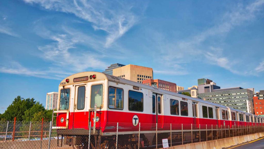
Subway (The T)
- Lines and Coverage: The subway consists of four color-coded lines: Red, Orange, Blue, and Green, along with the Silver Line (a bus rapid transit line). These lines connect key areas like Downtown Boston, Cambridge, Back Bay, and Logan International Airport.
- Fares: A single subway ride costs $2.40 with a CharlieCard (a reusable transit card) or $2.90 with a paper ticket.
- How to Use It: CharlieCards are available at major T stations, and you can load them with cash or credit. Stations have clear signage, and maps are available online or at kiosks.
- Tips for Visitors: Avoid rush hours (7-9 AM and 4-6 PM) for a less crowded experience. Late-night service is limited, so plan accordingly.
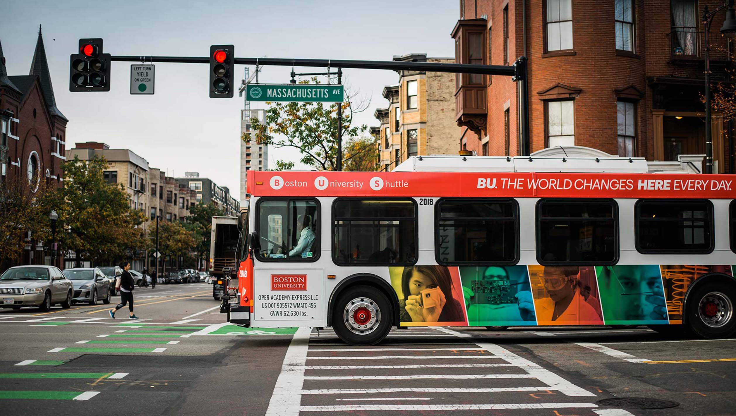
Buses
- Routes and Access: Boston’s buses complement the subway system, connecting areas not directly served by the T. The Silver Line is particularly useful, as it offers free rides from Logan Airport to South Station.
- Fares: Bus fares are $1.70 with a CharlieCard or $2.00 with cash.
- Tips for Visitors: Download the MBTA app for real-time bus schedules and plan your route in advance.
Commuter Rail
- Purpose: Ideal for trips to suburban areas or nearby cities like Salem, Worcester, and Lowell.
- Fares: Prices vary by distance, starting at $2.40. Tickets can be purchased via the MBTA mTicket app or at stations.
- Tips for Visitors: Check schedules ahead of time, as trains may run less frequently on weekends.
Ferries
- Routes: Ferries operate between Boston’s waterfront neighborhoods and nearby destinations like Charlestown and Hingham.
- Fares: Prices range from $3.70 to $9.75, depending on the route.
- Tips for Visitors: Take a ferry ride for stunning views of Boston’s skyline, especially at sunset.
2. Walking: The Best Way to Explore Boston
Boston’s compact layout and pedestrian-friendly streets make walking one of the best ways to explore the city.
Why Walk?
- Many attractions, such as the Freedom Trail, Boston Common, and Faneuil Hall, are within walking distance of each other.
- Walking allows you to discover hidden gems like quaint cafes, historic landmarks, and charming neighborhoods.
Tips for Walking
- Wear comfortable shoes, as Boston’s cobblestone streets can be uneven.
- Use apps like Google Maps or Citymapper for pedestrian-friendly directions.
- Be mindful of jaywalking, as Boston drivers are known for their assertiveness.
3. Biking in Boston
Boston has become increasingly bike-friendly, with dedicated bike lanes, bike-sharing programs, and scenic routes.
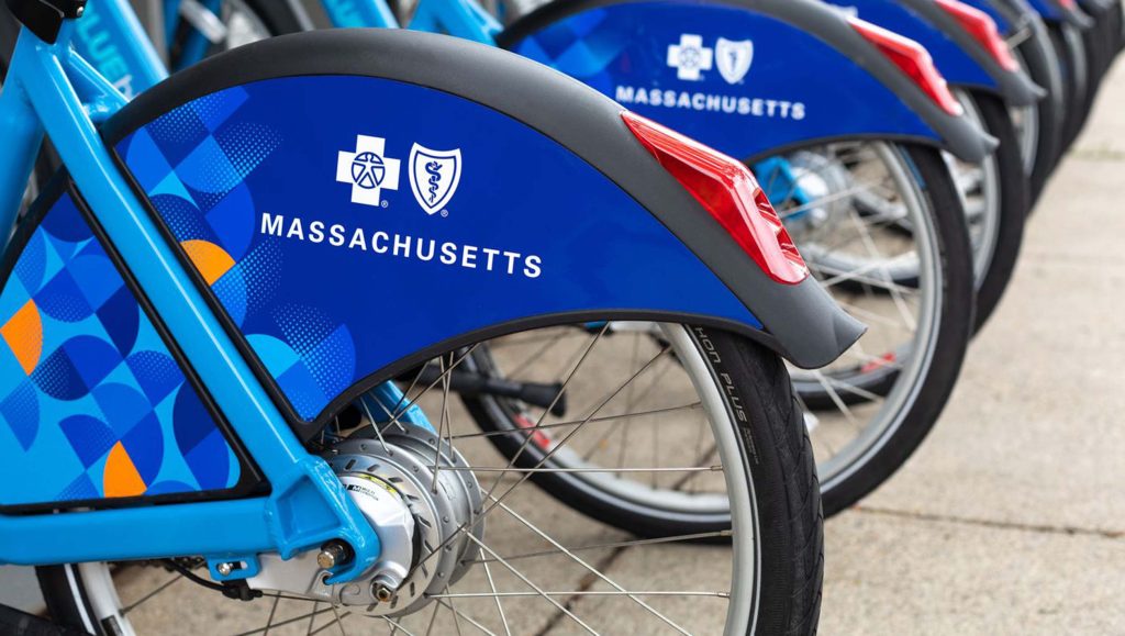
Bluebikes: Boston’s Bike-Share Program
- How It Works: Bluebikes stations are located throughout the city. You can rent a bike for a single trip or purchase a day pass for unlimited 30-minute rides.
- Cost: A single ride costs $2.95, while a 24-hour pass is $10.
- Tips for Visitors: Plan your route using the Bluebikes app, which shows station locations and bike availability.
Popular Bike Routes
- Charles River Esplanade: A scenic path along the river with views of Cambridge and Boston.
- Emerald Necklace: A series of parks and green spaces ideal for leisurely rides.
- Minuteman Bikeway: A longer trail that extends to Lexington, perfect for history buffs.
Safety Tips
- Always wear a helmet.
- Use hand signals to indicate turns.
- Stick to bike lanes and obey traffic laws.
4. Driving and Parking in Boston
Driving in Boston can be challenging due to narrow streets, one-way roads, and heavy traffic. However, it’s sometimes necessary for trips outside the city center.
Tips for Driving
- Use a GPS app like Waze to navigate Boston’s complex road network.
- Be prepared for aggressive drivers and limited parking options.
- Avoid driving during peak hours to minimize delays.
Parking Options
- Street Parking: Metered parking is available but often limited. Rates range from $1.25 to $3.75 per hour, depending on the area.
- Parking Garages: Garages like the Boston Common Garage and Prudential Center Garage offer safe but pricey options, with rates averaging $20-$40 per day.
- Apps for Parking: Use apps like SpotHero or ParkBoston to find and reserve parking spots in advance.
5. Rideshares and Taxis
For convenience, rideshares and taxis are widely available in Boston.
Rideshare Services
- Uber and Lyft operate throughout the city, offering a reliable alternative to public transit.
- Tips for Visitors: Check surge pricing during peak hours and opt for shared rides to save money.
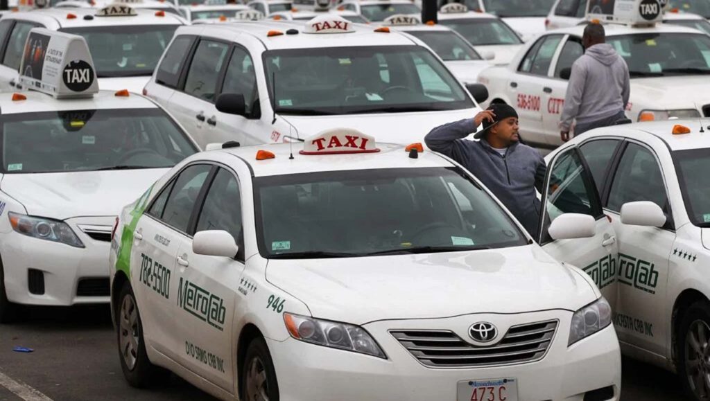
Taxis
- Taxis are available at major locations like Logan Airport and South Station.
- Fares: Taxis are metered, with a base fare of $2.60 plus $0.40 per additional 1/7 mile.
- Tips for Visitors: Use taxi stands or hail a cab on the street. Apps like Curb can also be used to book a ride.
6. Airport Transportation
Getting to and from Logan International Airport is straightforward with several options available:
Public Transit
- The Silver Line (SL1) offers free service from Logan to South Station.
- The Blue Line connects Logan to downtown Boston via a shuttle bus from the airport terminals.
Rideshares and Taxis
- Rideshares pick up from designated areas at each terminal.
- Taxis are readily available, with fares to downtown Boston averaging $25-$35.
Airport Shuttles
- Several hotels offer complimentary airport shuttle services.
- Private shuttles like GO Boston Shuttle provide door-to-door service for a fee.
7. Specialty Transportation Options
Duck Tours
For a fun and unique way to see the city, consider a Boston Duck Tour. These amphibious vehicles take you on a guided tour of both land and water, highlighting major attractions.
Harbor Cruises
Harbor cruises offer a scenic way to travel while learning about Boston’s maritime history. Options range from sightseeing cruises to dinner cruises.
Trolley Tours
Hop-on, hop-off trolley tours are a convenient way to explore Boston’s top attractions without worrying about transportation logistics.
8. Accessibility Tips
Boston is committed to accessibility, ensuring that public transit and attractions are inclusive for all travelers.
MBTA Accessibility
- Most subway stations and buses are wheelchair-accessible.
- Elevators and ramps are available at major stations.
Walking and Biking
- Many sidewalks and bike paths are wheelchair-friendly.
- Bluebikes offers adaptive bikes for riders with disabilities.
9. Seasonal Considerations
Boston’s weather can impact transportation options:
- Spring and Summer: Ideal for walking, biking, and outdoor activities.
- Fall: Crisp weather makes it perfect for exploring on foot.
- Winter: Snow can disrupt public transit and make walking slippery. Dress warmly and check for service updates.
10. Tips for a Smooth Trip
- Plan Ahead: Use apps like Citymapper, Transit, or Google Maps to navigate efficiently.
- Carry a CharlieCard: It’s the most cost-effective way to use public transit.
- Stay Flexible: Traffic and weather can impact schedules, so allow extra time for travel.
Boston’s diverse transportation options make it easy to explore the city’s historic sites, cultural attractions, and scenic waterfront. Whether you’re riding the T, biking along the Charles River, or strolling through Back Bay, these tips will help you navigate Boston with ease and confidence.